
Description
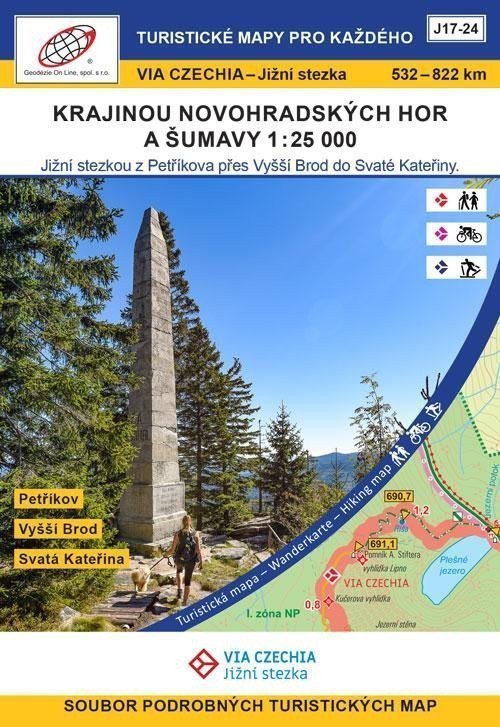
Petříkov - Hojná Voda - Baronův Most - Dolní Dvořiště - Vyšší Brod - Svatý Tomáš - Nová Pec, Láz - Nové Údolí - Bučina - Modrava - Prášily - Špičácké sedlo - Svatá Kateřina A set of 8 double-sided tourist maps (A2 format). The maps display the VIA CZECHIA - Southern Trail route between the 532nd and 822nd kilometers of the trail (walking variant). There is also a variant for cyclists and skiers. The maps are stored in a paper box. ***** The Southern Trail – the second longest route of Via Czechia, connects the easternmost and westernmost points of the Czech Republic and mainly runs along the southern border. The basic walking variant of the Southern Trail measures 1052 km and is divided into 44 daily stages with an average length of 20-25 km, always with the possibility of indoor accommodation. The Southern Trail is also very suitable for cycling; the cycling variant measures a total of 1080 km and can be completed in 2-3 weeks. A large part can be traversed on skis, with a total of 319 km of ski trails, mostly machine-groomed.
Information
Language: Czech
Publication date: May 10, 2024
Manufacturer: Geodézie On Line
Type: Maps & atlases
ISBN/EAN: 9788075061645