
Description
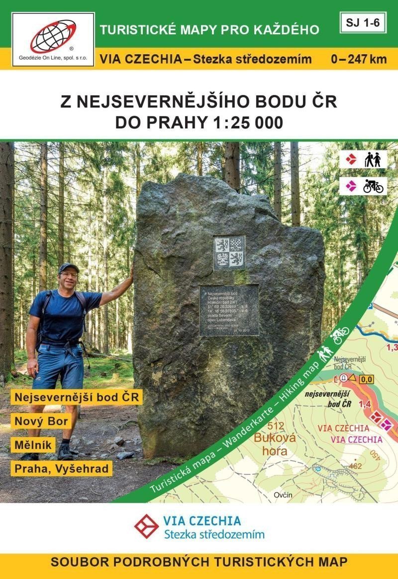
The Trail through the Middle of the Land, sections Šluknovsko, Lužické hory, Kokořínsko and Máchův kraj, Dolní Povltaví, Střední Povltaví 0 – 247 km The northernmost point of the Czech Republic - Šluknov - Krásná Lípa - Česká Kamenice - Nový Bor - Zákupy - Doksy - Ráj - Mělník - Nelahozeves - Roztoky - Prague, Vyšehrad The Trail through the Middle of the Land connects the northernmost and southernmost points of the Czech Republic, passing through 4 protected landscape areas, 24 pilgrimage sites, and will take you to many picturesque towns such as Prague, Mělník, Tábor, or Český Krumlov. More about the trail A set of 6 double-sided tourist maps (A2 format). The maps are stored in a paper box. Map format: A2, printed on standard paper, maps when folded: approx. 9.9 x 14.5 cm, box: approx. 11 x 16 x 4 cm, 1st edition 2022, 9/2022 Contents of the package: maps, legend. SJ 1 Šluknovsko 1:25,000 The northernmost point of the Czech Republic – Šluknov – Brtníky – Vlčí hora – Krásná Lípa – Rybniště SJ 2 Lužické hory, Kokořínsko and Máchův kraj 1:25,000 Rybniště - Česká Kamenice - Nový Bor - Svojkov SJ 3 Kokořínsko and Máchův kraj 1:25,000 Svojkov – Zákupy – Staré Splavy – Doksy – Bezděz SJ 4 Kokořínsko and Máchův kraj 1:25,000 Žďár – Houska – Ráj – Kokořín – Harasov – Mělník SJ 5 Dolní Povltaví 1:25,000 Hořín –…
Information
Language: Czech
Publication date: September 1, 2022
Manufacturer: Geodézie On Line
Genres: Maps of the czech republic, Maps and guides, Books, Travel, Underground
Type: Maps & atlases
ISBN/EAN: 9788075061607