
Description
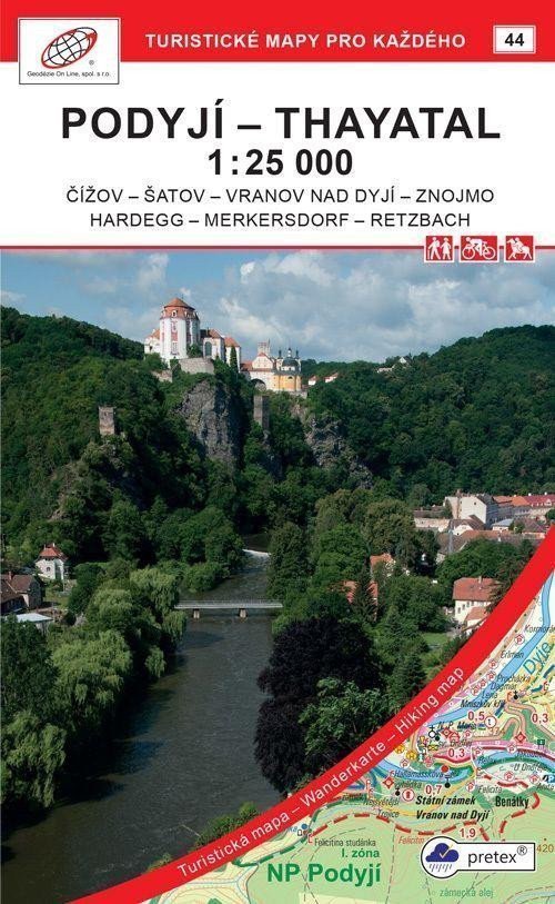
Podyjí - Thayatal 1:25 000 (2021, GOL_44, 7th edition) Detailed map at a scale of 1:25 000, 1 cm on the map = 250 m in reality. Front: detailed map of national parks, city plan of Znojmo (center) Back: texts /CZ,GB,D/ and photographs Used paper: pretex® - material made from selected cellulose and synthetic fibers (polyamide and polyester). Special impregnation gives the paper strength. Ideal for use where regular paper is insufficient, for example, when in contact with moisture, under higher loads,... General characteristics of maps from Geodézie On Line, spol. s r.o. > The detailed map displays basic topographic and elevation information such as roads, paved and unpaved paths, railways, settlements and their parts including villages and hamlets, water bodies and streams, other areas (e.g. forests, gardens and orchards, vineyards, hop gardens), elevation points, contour lines every 10 m, ... > It includes band and local tourist markings, tourist signposts, mileage; cycling routes; educational trails; tourist ski routes, downhill slopes, cable cars and lifts (if present in the displayed area); equestrian trails and of course shows attractive places for tourists - castles and chateaus, observation towers and viewpoints, ruins and other monuments, museums and...
Information
Language: Czech
Publication date: July 1, 2021
Manufacturer: Geodézie On Line
Genres: Maps of the czech republic, Non-fiction literature, Tourist maps of the czech republic, Books, Travel, Maps and guides, Underground, Tourist maps
Type: Maps & atlases
ISBN/EAN: 9788075061522