
Description
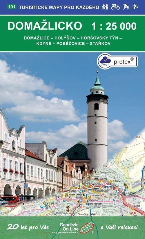
Domažlice - Holýšov - Horšovský Týn - Kdyně - Poběžovice - Staňkov A tourist and cycling map 1:25,000, 1st edition, September 2020, coordinate grid WGS 84, special pretex paper General characteristics of maps from Geodézie On Line, spol. s r.o. > The detailed map displays basic topographic and elevation information such as roads, paved and unpaved paths, railways, settlements and their parts including hamlets and solitary farms, water bodies and streams, other areas (e.g. forests, gardens and orchards, vineyards, hop gardens), elevation points, contour lines every 10 m, ... > It includes trail and local tourist markings, tourist signposts, mileage; cycling routes; educational trails; tourist ski routes, downhill slopes, cable cars and lifts (if present in the displayed area); equestrian trails and of course shows attractive places for tourists - castles and chateaus, observation towers and viewpoints, ruins and other monuments, museums and galleries, swimming pools, selected restaurants and accommodation facilities,... Page 1: map, page 2: map Explanations: in Czech, German, English > The map is supplied folded in a practical plastic cover.
Information
Language: Czech
Publication date: September 1, 2020
Manufacturer: Geodézie On Line
Genres: Tourist maps of the czech republic, Non-fiction literature, Books, Travel, Maps and guides, Tourist maps
Type: Maps & atlases
ISBN/EAN: 9788075061362