
Description
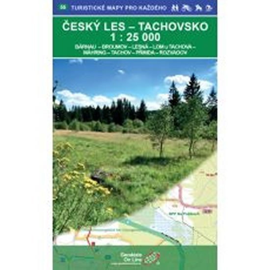
Český les - Tachovsko 1:25,000 Bärnau - Broumov - Lesná - Lom u Tachova - Mähring - Tachov - Přimda - Rozvadov A double-sided tourist, cycling, and skiing map 1:25,000, 1st edition, November 26, 2018, coordinate grid WGS 84. Map sheet - overview number 55.
Information
Language: Czech
Publication date: November 1, 2018
Manufacturer: Geodézie On Line
Genres: Tourist maps of the czech republic, Tourist maps, Books, Travel, Maps and guides
Type: Maps & atlases
ISBN/EAN: 9788075061096