
Description
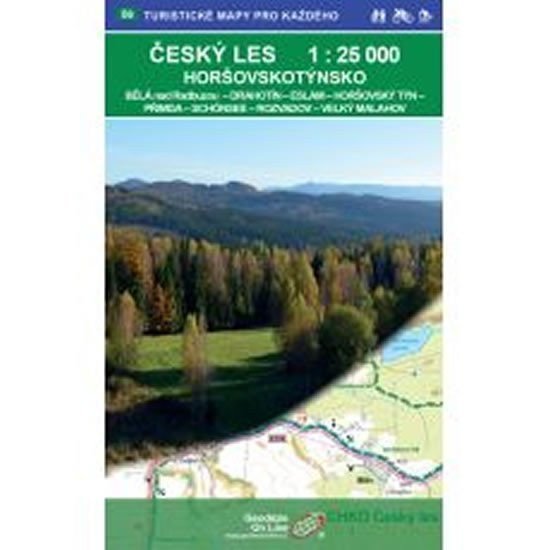
Český les - Horšovskotýnsko 1:25,000 (GOL_56) Bělá nad Radbuzou - Drahotín - Eslarn - Horšovský Týn - Přimda - Schönsee - Rozvadov - Velký Malahov A double-sided tourist, cycling, and skiing map 1:25,000, 1st edition, February 11, 2019, coordinate grid WGS 84. Map sheet - overview number 56. Detailed map at a scale of 1:25,000, 1 cm on the map = 250 m in reality. 1st edition, February 2019.
Information
Language: Czech
Publication date: February 1, 2019
Manufacturer: Geodézie On Line
Genres: Maps and guides, Tourist maps, Books, Travel
Type: Maps & atlases
ISBN/EAN: 9788075061058