
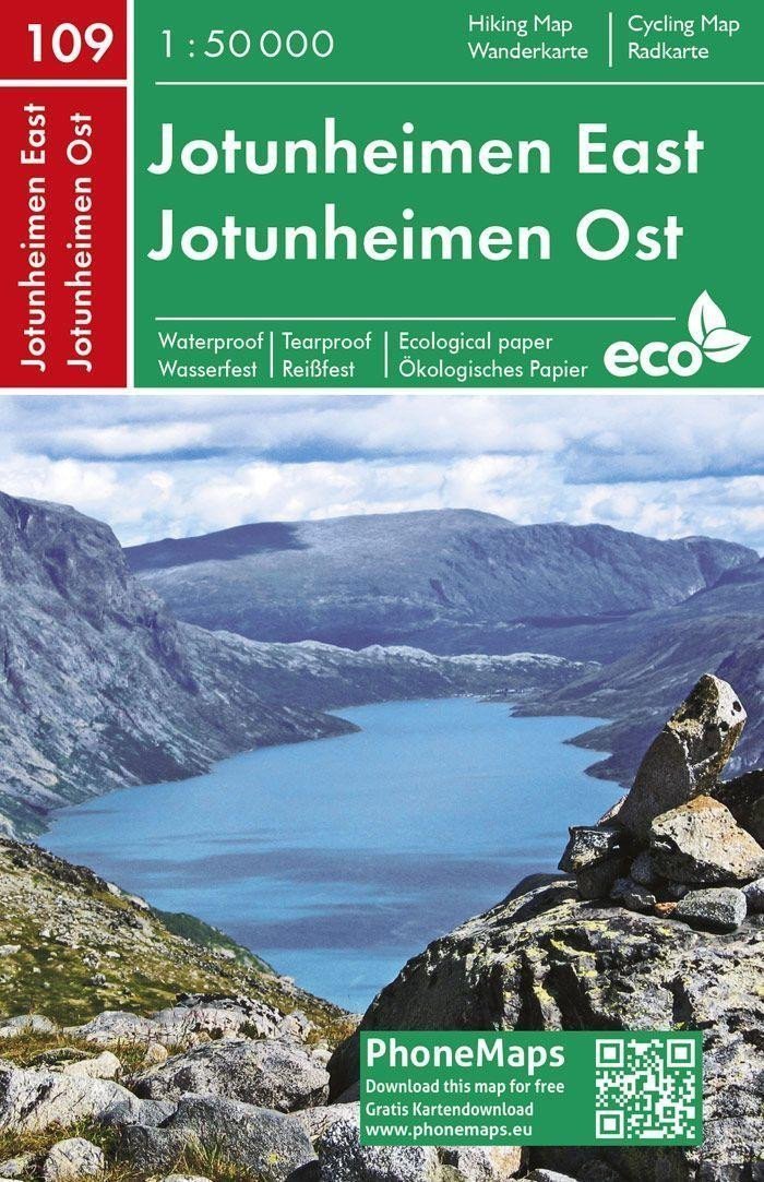

Description
A double-sided tourist and cycling map depicting, at a detailed scale of 1:50,000, the eastern and central parts of the Norwegian national park Jotunheimen, including the highest peaks Glittertind and Galdhopiggen. The defined area: S - Gaupar, E - Gjendesheim, N - Ovre Dalen, W - Hansbue. The map is printed on innovative eco-friendly paper that is nature-friendly, recyclable, waterproof, and tear-resistant, making it ideal for your outdoor activities. The map is connected to the eponymous mobile app PhoneMaps, which is available for free download. It includes: - a road network (highways, main and secondary roads, field and forest paths, bridges) with numbering - a railway network, railway stations - marked tourist and cycling routes - a water network (rivers, streams, lakes, waterfalls, springs) - settlements, a register of settlements, administrative units, boundaries of administrative units - regional names - geographical units, peaks, passes, rocks - shaded relief, contour lines every 20 m, elevation points - hotels, guesthouses, campsites, cabins, camping sites, caravan parks, information centers, hospitals, gas stations, etc. - cultural, historical, and ecclesiastical monuments, tourist attractions and points of interest, protected...
Information
Language: Czech
Manufacturer: FREYTAG-BERNDT, spol. s r.o.
Genres: Maps of the nordic countries, Books, Travel, Maps and guides, Underground
Type: Map / atlas
ISBN/EAN: 9788074454271