Description
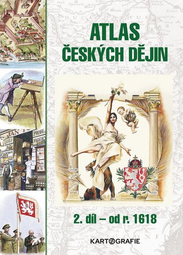
The atlas seamlessly follows the successful first volume. The maps trace the territorial, cultural, and economic development of our state and its population from 1618 to the present day. The maps are complemented by a wealth of graphs, period coats of arms and flags, portraits of significant figures from political and cultural life, accompanied by important biographical details, illustrations of notable architectural monuments, economic and technical phenomena of the era, and much more. Each stage of the historical development of the Czech state is introduced with a brief historical commentary characterizing the entire period and concluded with a timeline of the most significant events in our country, Europe, and the world. The atlas was created in collaboration with the prominent historian of Czech history, Eva Semotanová, and illustrated by popular artists Dagmar Ježková and Jiří Petráček. The third edition has been granted an extension by the Ministry of Education, Youth and Sports for six years until 2023. From the content: • The Czech lands in the post-Battle of White Mountain period • Enlightenment and civil society in the Habsburg monarchy • World War I and the founding of Czechoslovakia • World War II and the Protectorate • Post-war Czechoslovakia • The Czech Republic after 1993 • Index of selected terms
Information
Author: Semotanová Eva
Publication date: August 10, 2020
Manufacturer: KARTOGRAFIE Praha, a. s.
Genres: History, History, History of the czech nation, Books, Textbooks and languages, Textbook for lower secondary school, History and facts, Textbook for high schools and gymnasiums, Medieval and modern era
Type: Maps & atlases
Pages: 88
ISBN/EAN: 9788073935207

