
Description
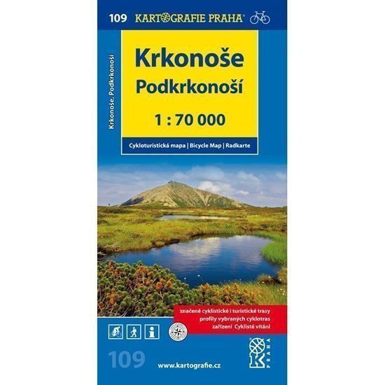
The territory of our highest mountain range and also the oldest national park offers nearly 400 km of marked cycling routes. Despite the significant elevation differences that favor more sport-oriented cyclists, many pleasant experiences can also be enjoyed by those who are less fit. The network of bike buses and especially the option to use cable cars for transporting bikes makes even the highest areas accessible to everyone, regardless of performance. At the same time, the map introduces you to the rolling foothills of the Krkonoš, which are equally popular among cyclists. clear cycling map 1:70,000 all marked cycling routes surface classifications of cycling routes profiles of selected cycling trips mileage bike shops repair shops and bike rentals dangerous places WGS-1984 network cyclists welcome
Information
Language: Czech
Manufacturer: KARTOGRAFIE Praha, a. s.
Genres: Non-fiction literature, Maps and guides, Cycling maps, Maps of the czech republic, Books, Travel, Underground
Type: Maps & atlases
ISBN/EAN: 9788073933166