

Description
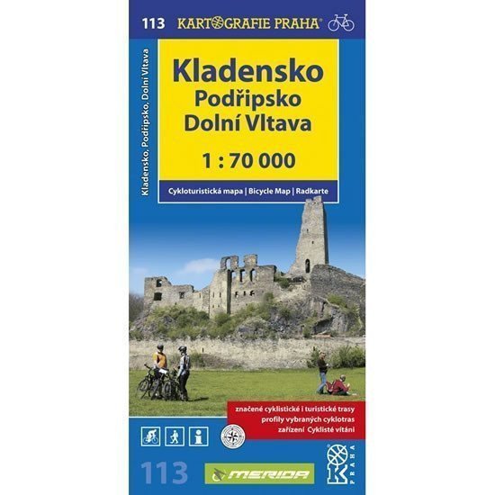
The rolling landscape of the Prague Plateau, the northern part of Křivoklát, and the Džbán hills, as well as the flat areas along the Elbe, Ohře, and Vltava rivers, attract cyclists northwest of Prague. For easier navigation during trips to the ruins of Okoř Castle, Lány Chateau, the water fortress in Budyně nad Ohří, or into the deep Křivoklát forests, we have prepared an up-to-date cycling map of the region between Prague and Louny, between Rakovník and Roudnice nad Labem. Clear cycling map 1:70,000 all marked cycling routes surface resolution of cycling routes profiles of selected cycling trips mileage shops repair shops and bike rentals dangerous places WGS-1984 network facilities cyclists welcome
Information
Language: Czech
Manufacturer: KARTOGRAFIE Praha, a. s.
Genres: Non-fiction literature, Maps and guides, Cycling maps, Maps of the czech republic, Books, Travel, Underground
Type: Map / atlas
ISBN/EAN: 9788073932374