
Description
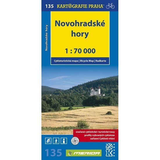
Map No. 135 Novohradské hory from the new edition of cycling maps displays an area at a scale of 1:70,000 on a sheet measuring 840 x 600 mm (folded size 105 x 220 mm). The map shows a complete network of marked cycling routes along with the characteristics of the surfaces of individual paths. It also includes routes that exist but are not marked in the field. The routes are described by mileage, and dangerous spots, steep climbs, and sections of asphalt roads with a ban on motor vehicle access are marked. All these elements were verified in the field before the map was published. In addition to cycling content, we also find all elements of a tourist map, including the course of tourist trails. The back of the map contains, in addition to a geographical glossary, longitudinal profiles of selected cycling routes. This way, the elevation profiles of the routes are clearly displayed. Each profile is supplemented with mileage, a brief description of the route, and warnings about dangerous spots.
Information
Language: Czech
Publication date: September 1, 2010
Manufacturer: KARTOGRAFIE Praha, a. s.
Genres: Non-fiction literature, Maps and guides, Cycling maps, Maps of the czech republic, Books, Travel, Underground
Type: Maps & atlases
ISBN/EAN: 9788073931315