

Description
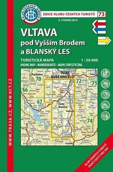
A detailed map at a scale of 1:50,000 (1 cm = 500 meters) displays, in addition to the basic content (all settlements and their parts, railways, roads, main routes, contour lines every 10 m, elevation points, etc.), a complete network of marked tourist trails and detailed tourist content: castles, chateaus, ruins, lookout towers, nature reserves, viewpoints, and much more. On the back of the map, you will find a detailed description of interesting places, color photographs, and the mileage of marked tourist trails.
Information
Language: Czech
Publication date: August 1, 2018
Manufacturer: Klub českých turistů
Genres: Underground, Tourist maps, Books, Travel, Maps and guides
Type: Map / atlas
ISBN/EAN: 9788073244958