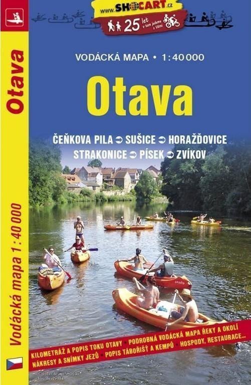

Description
A boating map at a scale of 1:45,000. Mileage, sketches and photographs of weirs in sections, descriptions of campsites and camps with pubs and restaurants. Tables of navigability for individual sections, flow difficulty, detailed legends for flow sketches and the map section in three languages (Czech, English, German). Advertisements for companies providing boating services. Displayed section: Světlá nad Sázavou-Davle.
Information
Language: Czech
Manufacturer: SHOCart, spol. s r.o.
Genres: Non-fiction literature, Maps of the czech republic, Books, Travel, Maps and guides, Underground
Type: Maps & atlases
ISBN/EAN: 9788072247745