

Description
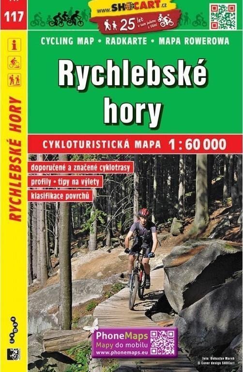
Sheet 117 maps the Rychlebské hory at 1:60 000, a quiet forested range on the Polish border in northern Moravia. Folded SHOCart cartography with waymarked trails and cycle routes, place names in Czech.
Product details
Type Map / atlas
Publisher / Manufacturer SHOCart, spol. s r.o.
Language Czech
Category Non-fiction literature, Cycling maps, Maps of the czech republic, Books
ISBN 9788072245215
Weight 58 g
Shipped worldwide from the Czech Republic by czechmovie.
Information
Language: Czech
Manufacturer: SHOCart, spol. s r.o.
Genres: Non-fiction literature, Cycling maps, Maps of the czech republic, Books, Travel, Maps and guides, Underground
Type: Map / atlas
ISBN/EAN: 9788072245215