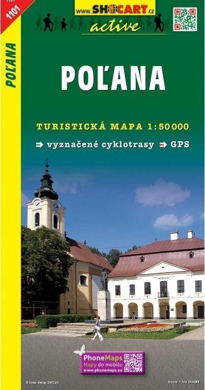

Description
Maps from the SHOCart publishing house at a scale of 1:50,000 include not only hiking and cycling routes but also the UTM WGS84 coordinate system. Therefore, they are suitable for GPS. The maps contain: WGS84 coordinate system, contour lines every 10 meters, marked hiking trails (including seasonal closures), secured paths (chains/ladders), numbered cycling routes, information centers, monasteries, castles, chateaus, ruins, fortified settlements, museums, Jewish monuments, healthcare facilities, lookout towers, mountain/hiking lodges, swimming pools, airports, zoos, water sports, golf courses, gamekeepers' lodges, mills, shafts, tunnels, railway lines (including discontinued ones), tram lines, cable cars and chairlifts, ski lifts, state borders, border crossings, protected landscape areas (CHKO), national parks (NP), nature parks, protected areas, alleys, tree rows, monumental trees, orchards, vineyards, hop fields, cemeteries, forests, dwarf pines, built-up areas, military zones, springs, waterfalls, docks, ferries, shipping routes, elevation points, passes, caves, guided caves, chasms, rock formations.
Information
Language: Czech
Publication date: January 1, 2008
Manufacturer: SHOCart, spol. s r.o.
Genres: Underground, Tourist maps, Books, Travel, Maps and guides
Type: Maps & atlases
ISBN/EAN: 9788072244799