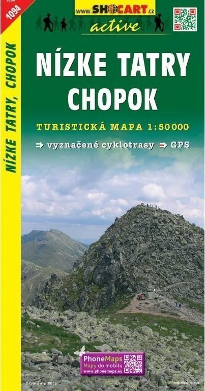

Description
Maps from the SHOCart publishing house at a scale of 1:50,000 include, in addition to tourist and cycling routes, the UTM WGS84 coordinate system. Therefore, they are suitable for GPS. The maps include: - WGS84 coordinate system, contour lines every 10 meters, marked hiking trails (including seasonal closures) - secured paths (chains/ladders), numbered cycling routes - information centers, monasteries, castles, chateaus, ruins, fortified settlements, museums, Jewish monuments, healthcare facilities, - lookout towers, mountain/hiking lodges, swimming pools, airports, zoos, water sports, golf courses, game preserves, mills, shafts, tunnels, transmission towers, monuments, chapels, - highways, class 1-2-3 roads, paved roads, clearings, tunnels, railway lines (including discontinued ones), tram lines - cable cars and chairlifts, ski lifts, state borders, border crossings, protected landscape areas, national parks, nature parks, protected areas - avenues, tree rows, memorial trees, orchards, vineyards, hop fields, cemeteries, forests, dwarf pines, built-up areas, military zones - springs, waterfalls, docks, ferries, shipping routes, elevation points, passes, caves, guided caves, abysses, rock formations.
Information
Language: Czech
Publication date: January 1, 2006
Manufacturer: SHOCart, spol. s r.o.
Genres: Underground, Tourist maps, Books, Travel, Maps and guides
Type: Maps & atlases
ISBN/EAN: 9788072244720