
Description
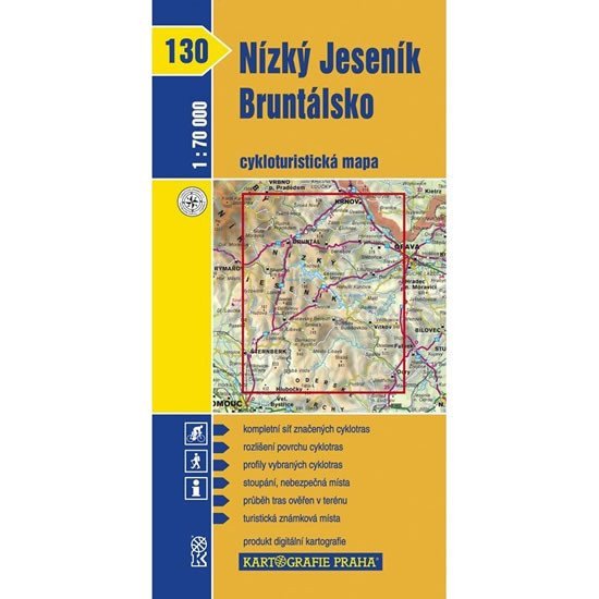
Map No. 130 – Low Jeseník, Bruntálsko from the cycling tourism map series displays the area between Olomouc to the south, Krnov to the north, Rýmařov to the west, and Opava to the east at a scale of 1:70,000. A clear cycling map 1:70,000 shows all marked cycling routes, surface distinctions of cycling paths, profiles of selected cycling trips, mileage, shops, bike repair shops, and rental services, dangerous spots, WGS-1984 network, cyclists welcome. The back of the map contains, in addition to a geographical glossary, longitudinal profiles of selected cycling routes. This clearly displays the elevation relationships of the routes. Each profile is supplemented with mileage, a brief description of the route, and possibly a warning about dangerous spots.
Information
Language: Czech
Manufacturer: KARTOGRAFIE Praha, a. s.
Genres: Travel, Cycling maps, Maps of the czech republic, Books, Maps and guides, Underground
Type: Maps & atlases
ISBN/EAN: 9788070119877