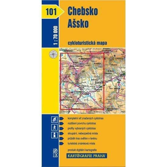

Description
The map displays the westernmost part of the Czech Republic – the western part of the Krušné Mountains, the Cheb Basin, the Smrčiny, and part of the Slavkov Forest. It is a clear cycling map at a scale of 1:70,000 showing all marked cycling routes, surface types of the cycling paths, profiles of selected cycling trips, mileage, shops, repair services, and bike rentals, dangerous places, a WGS-1984 network, and facilities welcoming cyclists.
Information
Language: Czech
Publication date: January 1, 2007
Manufacturer: KARTOGRAFIE Praha, a. s.
Genres: Maps and guides, Cycling maps, Maps of the czech republic, Travel, Books, Underground
Type: Maps & atlases
ISBN/EAN: 9788070119334