
Description
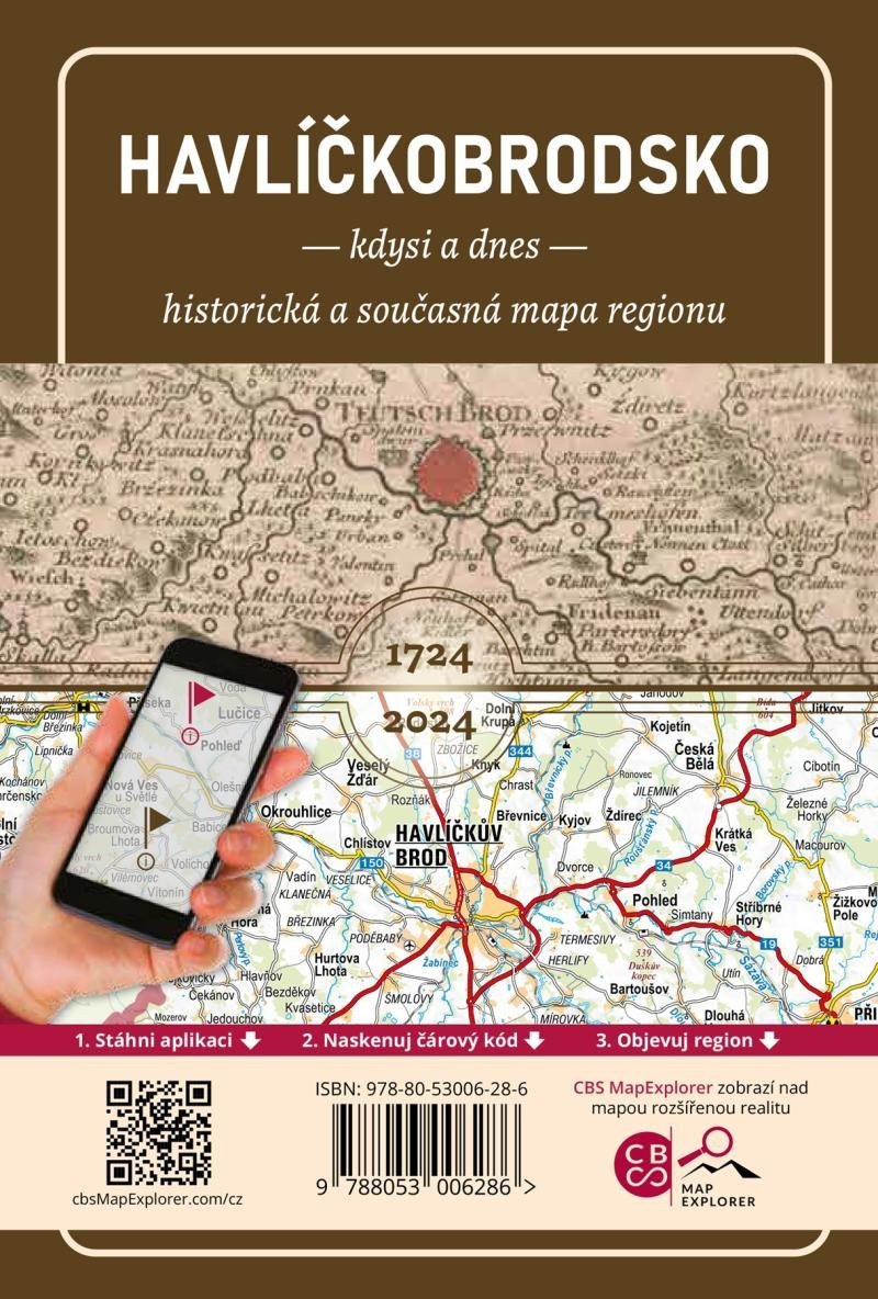
The comparative map of the Havlíčkův Brod region offers a unique insight into the development of the area. This historical and contemporary map allows for a fascinating comparison of the territory over 300 years.
The basis of the comparative map is the Great Müller Map of Bohemia, which was completed in 1720, with its first prints dating back to 1724 and 1725, exactly 300 years ago! Discover the development of today's Havlíčkův Brod region from an unconventional perspective with this unique comparative map!
The basis of the comparative map is the Great Müller Map of Bohemia, which was completed in 1720, with its first prints dating back to 1724 and 1725, exactly 300 years ago! Discover the development of today's Havlíčkův Brod region from an unconventional perspective with this unique comparative map!
Information
Language: Czech
Publication date: January 1, 2025
Manufacturer: CBS Nakladatelství s. r. o.
Genres: Maps and guides, Books, Travel
Type: Maps & atlases
ISBN/EAN: 9788053006286