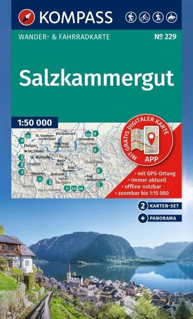

Description
Tourist map of the Salzkammergut: A set of maps for hiking, cycling, and many other outdoor activities.
The Kompass tourist maps cover the entire region with several maps. They are easy to read yet contain all the information you need for a perfect hike, bike ride, or trip. They display nature at an appropriate scale. The cartographic team continuously revises and expands countless additional information. The precise cartography includes all official hiking trails with names and route numbers (such as long-distance trails), cycling paths (with trails), via ferratas, inns and huts, parking lots, bus and train transport, ski tours and running trails, springs, swimming spots, and much more. This makes the map ideal for discovering new destinations, planning hikes, and navigation. The intuitive map image of the landscape is created by displaying vegetation, contour lines, petroglyphs, and mountain shadows.
Features of the Salzkammergut tourist map:
2 maps: extensive coverage with several hiking maps in the set
Scale 1:50,000: 1 cm on the tourist map corresponds to 500 m in nature
A part of the map can also be used offline with the Kompass hiking map app
Panorama: a hand-drawn and vibrant illustration of the region on the back…
Information
Language: German
Publication date: March 1, 2025
Manufacturer: Marco Polo, s. r. o.
Genres: Maps and guides, Books, Travel
Type: Maps & atlases
ISBN/EAN: 9783991542971