
Description
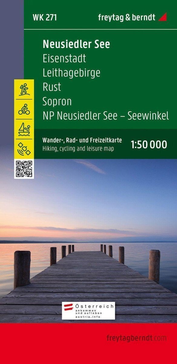
The tourist, cycling, and recreational map of Neusiedler See displays the area around Eisenstadt, the Leithagebirge mountains, Rust, Sopron, and the Neusiedler See - Seewinkel National Park at an ideal scale of 1:50,000. It is the perfect topographic map for hiking, cycling, sailing, and excursions in Seewinkel. The Neusiedlersee tourist map (WK 271) offers: Hiking and long-distance trails, mountain biking and cycling tours, horseback riding trails, Nordic walking routes, postal code location registry, leisure information, GPS information, navigation map, and the attached information brochure contains a selection of the best hiking trails, cycle paths, and mountain bike routes, as well as a brief description of individual municipalities and their leisure activities. (Language: German). The back of the card offers a navigation map with maritime information. *** Long-distance hiking trails: 01 Nordalpenweg, 02 Zentralalpenweg, 07 Grenzlandweg, Burgenland long-distance hiking trail, Lower Austrian state circular hiking trail, Bernstein trail, Marienweg, Via Sancti Martini - Martinusweg, Jakobsweg. *** Cycle paths: Cycle path around Neusiedler See, Leithara cycle path, Cherry Blossom cycle path, Lacken cycle path, Cycle path connecting Danube -...
Information
Language: German, English, French, Hungarian
Publication date: January 1, 2021
Manufacturer: FREYTAG-BERNDT, spol. s r.o.
Genres: Underground, Books, Travel, Maps and guides
Type: Maps & atlases
ISBN/EAN: 9783850847278