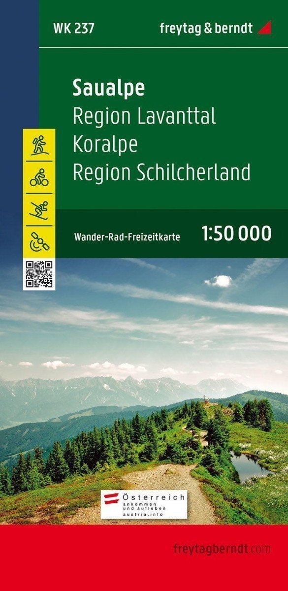

Description
The Saualpe tourist map is the best map for hiking, cycling, mountaineering, and ski touring due to its precise cartography and ideal scale. It is regularly revised and shows all hiking trails, cycling paths, and mountain biking routes, huts, natural monuments, cultural sites, and leisure facilities. ***** The brochure contains a selection of the most beautiful hikes and cycling routes in the region, as well as a brief description of individual municipalities and their leisure activities. (Language: German) ***** WK 237 offers: Hiking and long-distance trails, mountain biking and cycling trips, ski trails, cross-country skiing trails, leisure information, registry of places with postal codes, GPS compatible, via ferrata, bridle paths, Nordic walking routes ***** Area: Lavanttal, Unterkärnten, Schilcherland, Weststeiermark, Weststeirisches Hügelland, Carinthia, Styria. ***** Special thematic hiking trails: European long-distance hiking trail No. 6, Southern Alpine Trail, North-South Trail, Mariazeller Trail, Eisenwurzen Trail, Via Alpina, St. Large Speikkogel hike, around Greimkogel. ***** Special cycling tours and mountain biking tours: Drava Cycle Path, Lavant Cycle Path, Schilcher Cycling Tour, Lorenzberg Route,…
Information
Language: German, English, French, Slovenian
Publication date: January 1, 2021
Manufacturer: FREYTAG-BERNDT, spol. s r.o.
Genres: Maps and guides, Books, Travel
Type: Maps & atlases
Pages: 2
ISBN/EAN: 9783850843225