Description
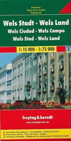
The clear plan includes a map of Wels on the front side at a scale of 1:15,000 and a city center map at a scale of 1:10,000. It features the layout of public transport lines and highlights tourist information (accommodation, cultural institutions, healthcare facilities, etc.). On the reverse side, you will find a map of the Wels district at a scale of 1:75,000. The accompanying booklet contains a settlement index, cultural guide, and many other details.
Information
Manufacturer: FREYTAG-BERNDT, spol. s r.o.
Genres: Cities of europe, Non-fiction literature, Books, Travel, Maps and guides, By city
Pages: 2
ISBN/EAN: 9783850841559

