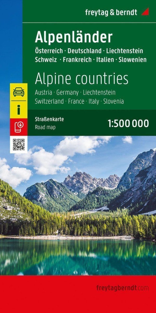

Description
With a road map of the Alpine countries at a scale of 1:500,000, vacationers traveling by car, motorcycle, or caravan can easily orient themselves. The extensive road network is accurately depicted, with distances and many excursion destinations shown on the map.
Information about the travel map of the Alpine countries
Scale 1:500,000
Tourist information
Campsites and playgrounds
Digital location registry with postal codes
Approx. 123 x 94 cm, double-sided
Drivers and motorcyclists particularly appreciate the precise cartography from freytag & berndt for planning and on-site orientation. Caravan drivers and campers will of course find all campsites and playgrounds on the map.
Printed in Austria.
Information
Publication date: May 30, 2025
Manufacturer: FREYTAG-BERNDT, spol. s r.o.
Genres: Maps and guides, Books, Travel
Type: Maps & atlases
ISBN/EAN: 9783707924008