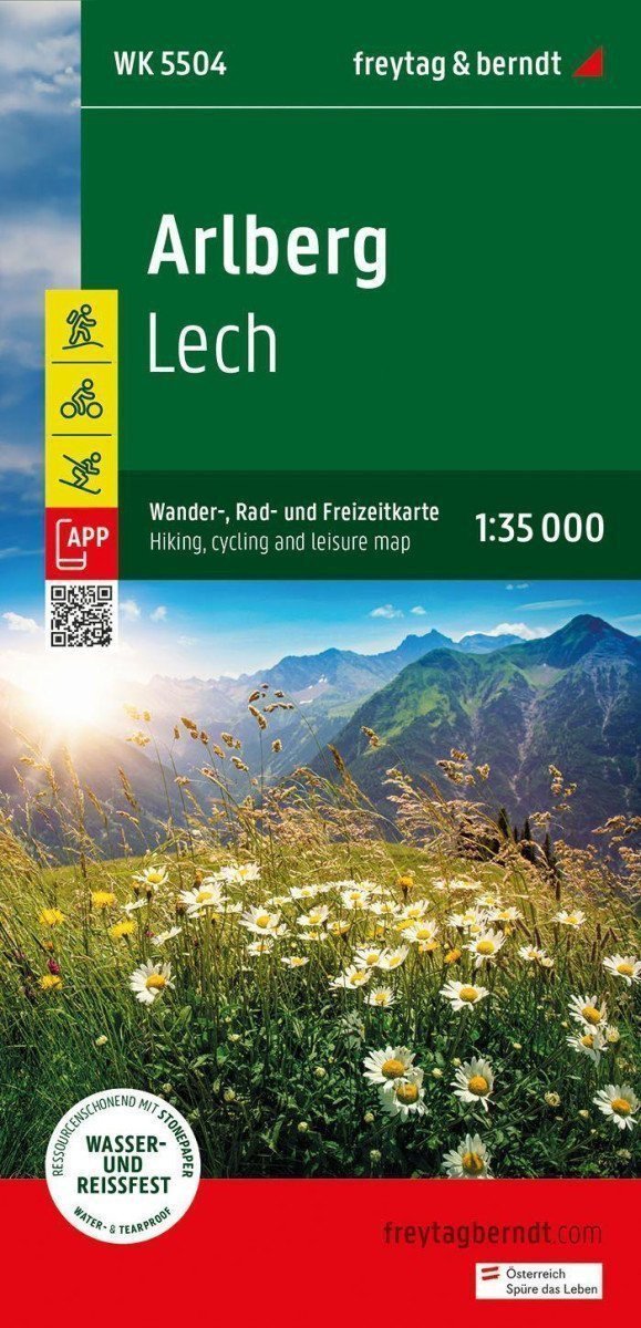

Description
The tourist, cycling, and recreational map of Arlberg provides detailed information about hiking and cycling trails in the regions of Arlberg, Lech, Verwallgruppe, Klostertal, and Stanzer Tal. With the tourist and cycling map, you can ideally plan your hikes and learn about landmarks along the route. Information about the Arlberg tourist and cycling map 1:35,000 Hiking and long-distance trails Mountain bikes and cycling paths Ski routes, cross-country skiing trails Rother App Waterproof and tear-resistant Rother App Connected free version offers a digital map with complete hiking routes and also several examples of hikes in the region (free registration required). Waterproof and tear-resistant To ensure that the Arlberg tourist map can be used for orientation even on rainy days, it is printed on special waterproof and tear-resistant paper. Made for resource conservation The card consists of 80% ground limestone. The production is much more resource-efficient than conventional paper, as the consumption of water, wood, and energy is significantly lower. Printed in Austria.
Information
Publication date: May 1, 2024
Manufacturer: FREYTAG-BERNDT, spol. s r.o.
Genres: Maps and guides, Books, Travel
Type: Maps & atlases
Pages: 10
ISBN/EAN: 9783707923407