
Description
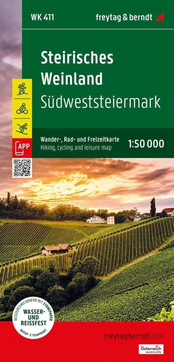
The tourist, cycling, and recreational map of the Styrian wine region is the ideal map for hiking, cycling trips, and excursions in southwestern Styria. With the tourist and cycling map, you can perfectly plan your hikes and learn about the sights and viewpoints along the way. For winter sports enthusiasts, the map offers ski trails, cross-country skiing routes, and all lifts and ski tows. Information about the tourist and cycling map of the Styrian wine region: Scale 1:50,000, Hiking and long-distance trails, Cycling paths and mountain biking trips, Ski trails and cross-country tracks, Tourist information, Rother app, Waterproof and tear-resistant, Double-sided, Rother app, The connected free version of the Rother app offers a digital map with a complete network for hiking and cycling as well as several examples of trips in the region (free registration required). Waterproof and tear-resistant To ensure that the tourist map can be used for navigation even on rainy days, it is printed on special waterproof and tear-resistant paper. Made to conserve resources The map consists of 80% ground limestone. The production is much more resource-efficient than traditional paper, as the consumption of water, wood, and energy is significantly lower.
Information
Publication date: November 1, 2024
Manufacturer: FREYTAG-BERNDT, spol. s r.o.
Genres: Maps and guides, Books, Travel
Type: Maps & atlases
ISBN/EAN: 9783707922967