
Description
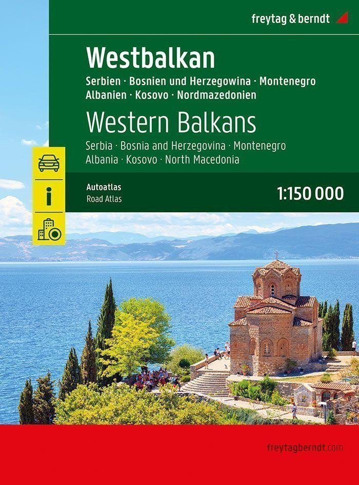
The Autoatlas Western Balkans 1:150,000 is the ideal companion for anyone traveling by car who doesn't want to just stick to the main roads and highways. It is perfect for planning and also proves to be an indispensable guide during the journey. With a detailed map image and accurate scale, you can discover less frequented side roads that are often not shown on overview maps. Beautiful scenic routes are highlighted in color. Great map details and additional information: Albania – Bosnia and Herzegovina – Kosovo – Montenegro – North Macedonia – Serbia 1:150,000, Planning map of the Balkans 1:1,000,000 and Europe 1:3,500,000, Spiral binding, Camping and playgrounds, tourist information, Eight city maps including Sarajevo, Tirana, and Belgrade, Location register with postal codes, 320 pages, format 23 x 29.7 cm. The ideal autoatlas for the western Balkans. The dense road network is accurately depicted, picturesque sections and hiking trails are highlighted in color, and many excursion destinations are shown on the map. Drivers and motorcyclists particularly appreciate the precise cartography of freytag & berndt for planning and on-site orientation. To make planning a trip easy even with a motorhome, caravan, or camper, all...
Information
Publication date: January 1, 2025
Manufacturer: FREYTAG-BERNDT, spol. s r.o.
Genres: Maps and guides, Books, Travel
Type: Maps & atlases
Pages: 320
ISBN/EAN: 9783707922899