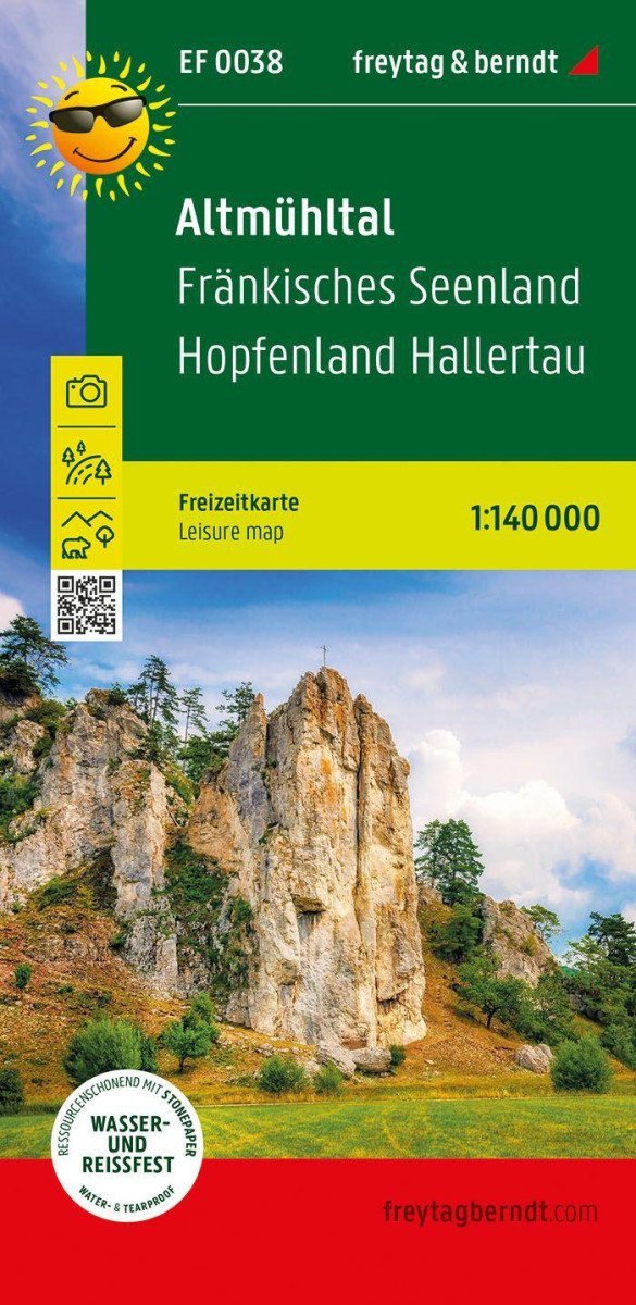

Description
With the Altmühltal recreational map, you can explore the charming Bavarian region in many different ways. It offers an informative overview of tourist destinations in the Altmühltal Nature Park and the neighboring Franconian Lake District to the north. The adventure guide on the back describes all the important excursion destinations.
Information about the Altmühltal recreational map
Scale 1:140,000
Car and road map
Sights, nature parks
Scenic routes
Waterproof and tear-resistant
Approx. size 89 x 60 cm
Sights
Excursion destinations in Altmühltal include attractions such as the Roman Museum in Weißenburg, the Archaeological Museum in Kehlheim, the modern Audi Forum in Ingolstadt, as well as nature-based recreational activities like boat rentals, educational trails, open-air museums, climbing parks, and thermal baths.
Waterproof and tear-resistant
To ensure that the recreational map can be used for navigation even on rainy days, it is printed on special waterproof and tear-resistant paper.
Resource-saving production
The map is made from 80% ground limestone. The production is much more efficient than that of conventional paper, as the consumption of water, wood, and energy is significantly...
Information
Publication date: March 1, 2025
Manufacturer: FREYTAG-BERNDT, spol. s r.o.
Genres: Maps and guides, Books, Travel
Type: Maps & atlases
ISBN/EAN: 9783707922738