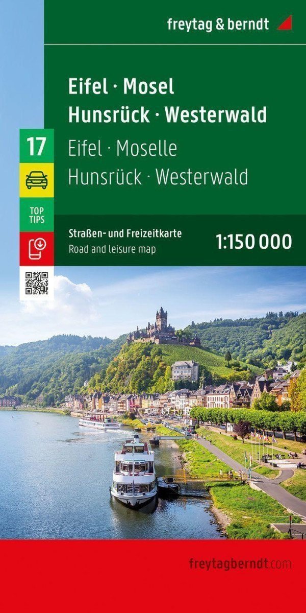

Description
With the Eifel - Mosel - Hunsrück - Westerwald road map at a scale of 1:150,000, vacationers traveling by car, motorcycle, or caravan can easily orient themselves. The dense road network is accurately depicted, with distances and tourist destinations shown on the map. Information about the Eifel - Mosel - Hunsrück - Westerwald road map: Scale 1:150,000 * Tourist information * Campsites and playgrounds * Digital location register * Format: 136 x 95 cm *** Ideal road map: Drivers and motorcyclists particularly appreciate the precise cartography from freytag & berndt for planning and on-site orientation. Caravan drivers and campers will of course find all campsites and playgrounds on the map. *** Digital location register: The location register with postal routing directions is available online and can be downloaded in PDF format. *** This map is sheet 17 of a 17-part map series Germany 1:150,000. *** Printed in Austria.
Information
Language: Czech, German, English
Publication date: January 3, 2024
Manufacturer: FREYTAG-BERNDT, spol. s r.o.
Genres: Maps and guides, Books, Travel
Type: Maps & atlases
ISBN/EAN: 9783707922493