
Description
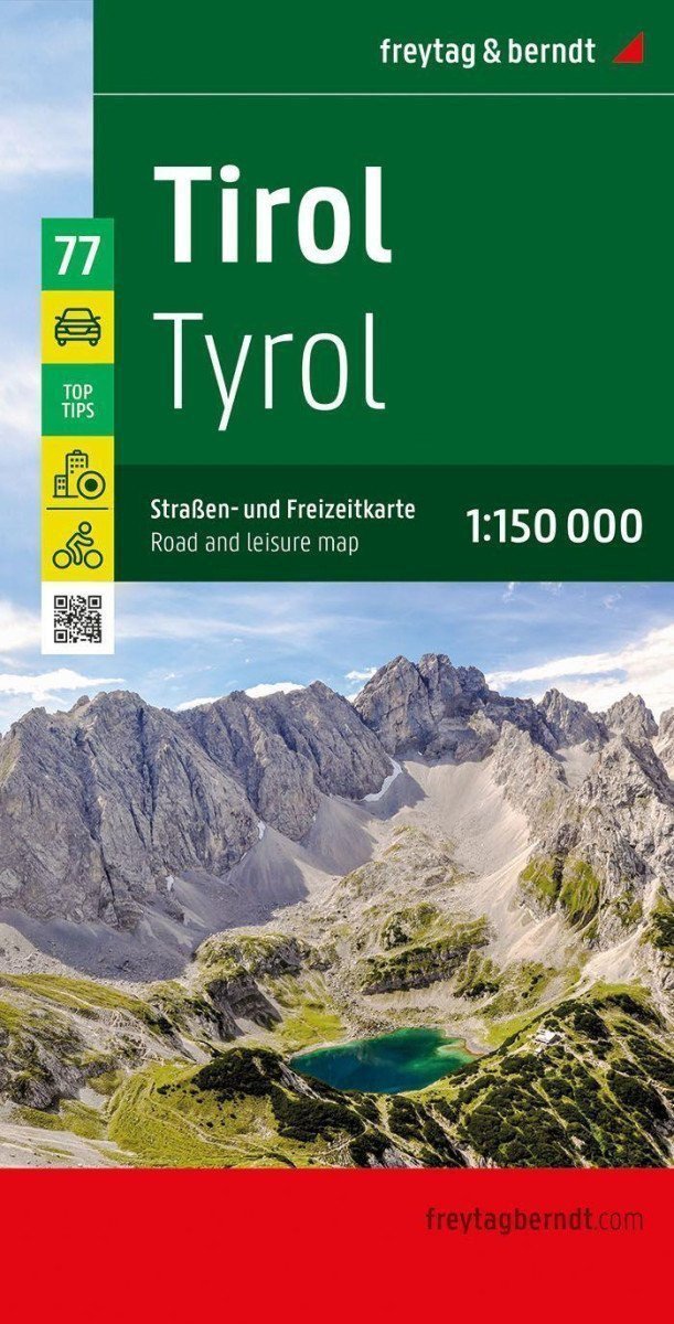
The road and recreational map of Tyrol at a scale of 1:150,000 contains many useful and practical information for a trip to western Austria. It details the complex road and railway network, and many regional cycling paths and long-distance cycling routes are shown on the map. Hiking trails and scenic routes are color-coded, highlighting many attractive destinations. *** The road and leisure map is made possible by precise cartography from freytag & berndt and the ideal scale, making it a perfect tool for planning and navigation. *** Information about the Tyrolean road and leisure map - Scale 1:150,000, Camping and RV sites, Automobile club breakdown services, Best tips - useful excursion destinations, Hiking streets, Regional cycling paths and long-distance cycling routes, Long-distance hiking trails, Map of downtown Innsbruck, Format: 137.5 x 94 cm *** The "Top Tips" series offers a brief overview of the ten most attractive places in Tyrol and their landmarks. All texts are also translated into English. Popular tourist attractions include the old town of Innsbruck, the Kufstein fortress, or Landeck Castle; nature lovers can visit the Karwendel Nature Park, and families can spend fun hours in the silver...
Information
Language: Czech, German, English
Publication date: November 1, 2023
Manufacturer: FREYTAG-BERNDT, spol. s r.o.
Genres: Maps and guides, Books, Travel
Type: Maps & atlases
ISBN/EAN: 9783707922400