
Description
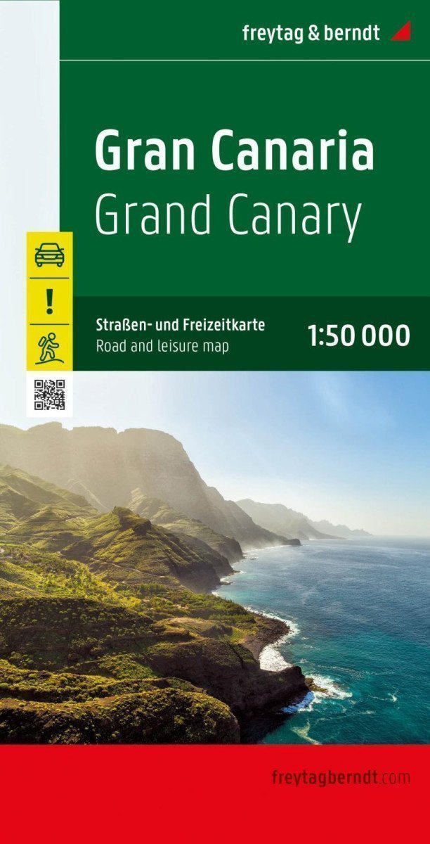
The Gran Canaria Road and Leisure Map at a scale of 1: 50,000 contains plenty of useful information for traveling to the largest Canary Island. The branched road network is accurately displayed, scenic streets are highlighted in color, and many interesting excursion destinations are marked on the map. Cars, motorcycles, and cyclists also appreciate the precise cartography of Freytag & Berndt, especially for planning their trips and navigating on-site. Due to the accurate scale and many drawn hiking trails, the map is also very suitable for hikes and excursions in the surrounding area. Information on the Gran Canaria Road and Leisure Map Scale 1: 50,000 InfoGuide with special excursion destinations, hiking trails, GPS coordinates registration. Format: 110 x 99 cm. Infoguide remains, multilingual free guide to Gran Canaria (languages: German, English, Spanish, French, Italian).