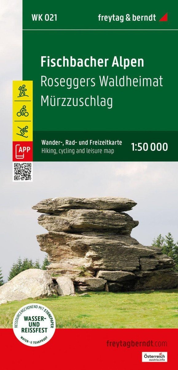

Description
The freytag & berndt tourist map of the Fischbacher Alps covers almost the entire mountain range at the ideal scale of 1:50,000. With the hiking and cycling map, you can perfectly plan your hikes and learn about the sights and viewpoints along the route.
For winter sports enthusiasts, the map offers ski routes, cross-country skiing trails, and all lifts and ski tows.
Information about the Fischbacher Alps tourist map: hiking and long-distance hiking trails, via ferratas, cycling paths, mountain biking trails, cross-country skiing trails, ski routes, attractive excursion destinations, scale 1:50,000, size 90 x 61 cm.
Rother App
The connected free version of the Rother App offers a digital map with a complete network of hiking and cycling trails, as well as several sample hikes in the region (free registration required).
The best hiking map for the Fischbacher Alps
The wooded mountains and alpine peaks of the Fischbacher Alps stretch between Mürztal and the hilly Joglland, making them ideal for long hikes without significant alpine demands.
The region also offers the best conditions for cyclists and mountain bikers: whether it's the trails between Alpl and Stuhleck, the varied hike "Der große Jogl," or the "Wexltrails" in the neighboring area...
Information
Publication date: February 1, 2025
Manufacturer: FREYTAG-BERNDT, spol. s r.o.
Genres: Maps and guides, Books, Travel
Type: Maps & atlases
ISBN/EAN: 9783707920741