
Description
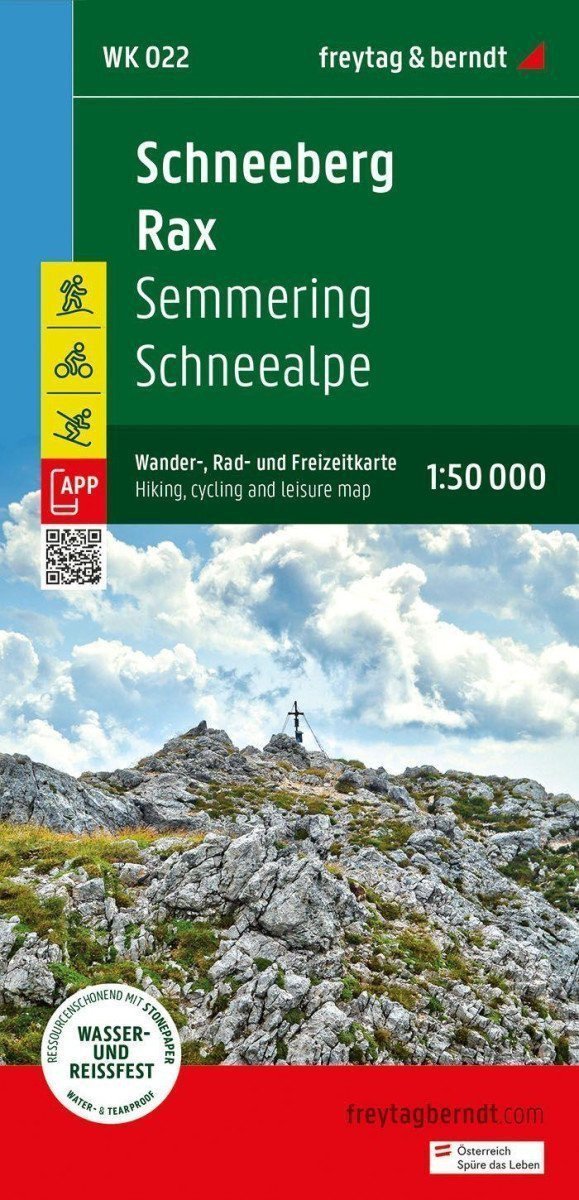
Schneeberg and Rax are popular destinations for hikes and mountain tours. Tourists can explore the fascinating mountain landscape and enjoy beautiful views on well-marked hiking trails. For inexperienced hikers, easier trails are available, allowing you to explore forests and alpine meadows. The hiking map provides detailed information about various hiking and cycling routes in the area. With the hiking and cycling map, you can ideally plan your tours and learn about sights and viewpoints along the way. *** Information about the hiking, cycling, and recreational map Schneeberg - Rax - Semmering - Schneealpe: Scale 1:50,000 * Hiking trails * Cycling paths, mountain biking * Ski routes, cross-country skiing trails * Tourist information * Rother app * Waterproof and tear-resistant * Dimensions 99 x 61 cm *** Rother App: The connected free version of the Rother App offers a digital map with the complete hiking and cycling network in the Schneeberg Rax region, as well as several examples of tours in the area (free registration required). *** Waterproof and tear-resistant: To ensure the hiking map can be used for navigation even on rainy days, it is printed on special waterproof and tear-resistant paper. *** Made for...
Information
Publication date: January 3, 2024
Manufacturer: FREYTAG-BERNDT, spol. s r.o.
Genres: Maps and guides, Books, Travel
Type: Maps & atlases
ISBN/EAN: 9783707920659