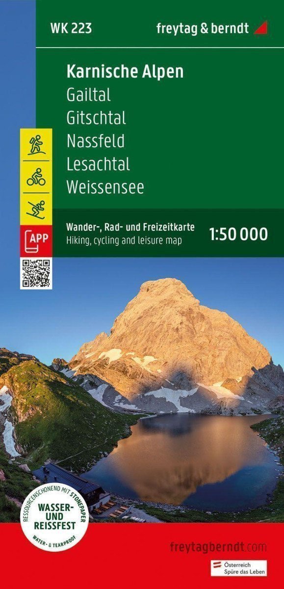

Description
The tourist, cycling, and recreational map of the Carnic Alps offers detailed information about hiking and cycling trails in the Carnic and Gailtal Alps. With Gitschtal, Lesachtal, and Weissensee, the region has many tourist attractions, and Nassfeld is particularly popular among winter sports enthusiasts. With the hiking and cycling map, you can ideally plan your trips and learn about the sights along the way. Information about the Carnic Alps hiking and cycling map: Scale 1:50,000, Hiking trails, Tourist information, Rother App, Waterproof and tear-resistant, 82 x 60 cm, double-sided *** Rother App *** the connected free version of the Rother App offers a digital map with complete hiking routes and also some sample hikes in the region (free registration required). *** Waterproof and tear-resistant *** To ensure the Carnic Alps tourist map can be used for orientation even on rainy days, it is printed on special waterproof and tear-resistant paper. *** Made to conserve resources *** The card is made up of 80% ground limestone. The production is much more resource-efficient than traditional paper, as the consumption of water, wood, and energy is significantly lower.
Information
Language: Czech, German, English
Publication date: January 1, 2023
Manufacturer: FREYTAG-BERNDT, spol. s r.o.
Genres: Maps and guides, Books, Travel
Type: Maps & atlases
ISBN/EAN: 9783707920628