
Description
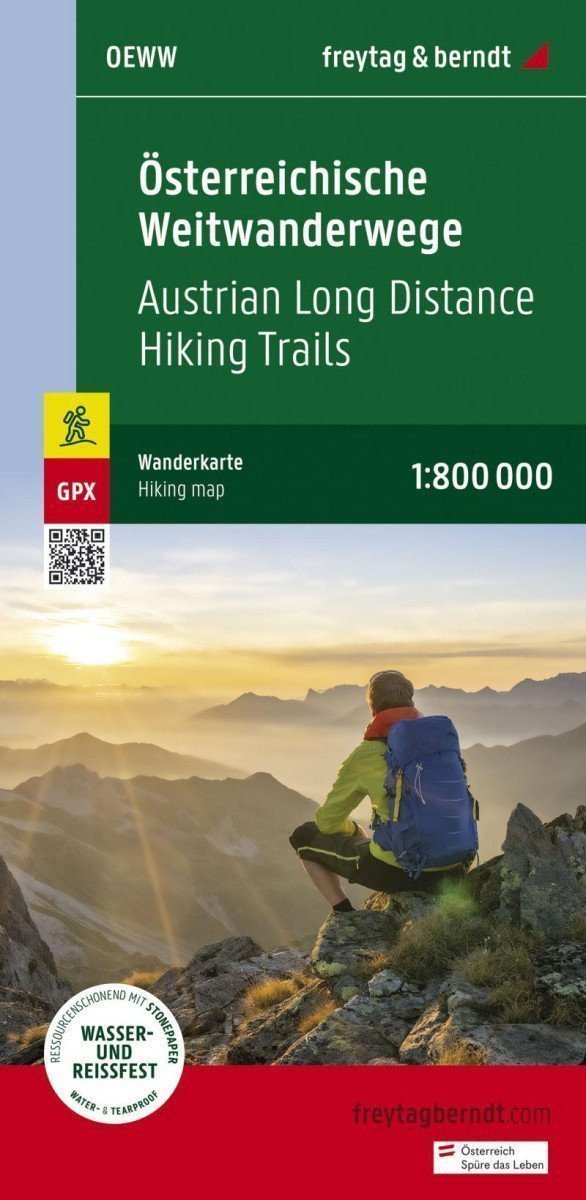
An overview map for Austrian long-distance hiking trails with a summary of lengths and starting and ending points. Format: 41 x 90 cm. Ideal for planning your next long hike! 01 Nordalpenweg 02 Zentralalpen 03 Südalpenweg 04 Voralpenweg 05 North-Süd-Weg 06 Mariazellerwege 07 Eastern Austrian Border Trail 08 Eisenwurweg 09 Salzsteigweg 10 Rupertiweg. Waterproof and tear-resistant paper printed. The map is made from 80% ground limestone. The production is much more resource-efficient than conventional paper, as the consumption of water, wood, and energy is significantly lower.
Information
Language: German
Publication date: June 15, 2022
Manufacturer: FREYTAG-BERNDT, spol. s r.o.
Genres: Maps and guides, Books, Travel
Type: Maps & atlases
ISBN/EAN: 9783707920574