
Description
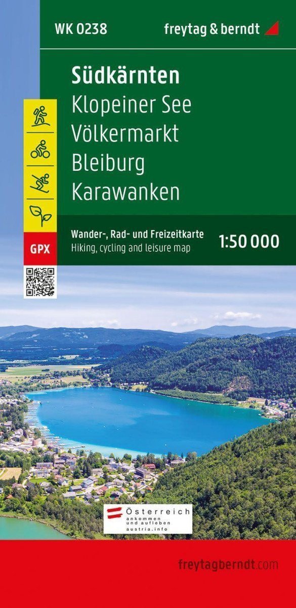
The tourist map of Southern Carinthia at a scale of 1:50,000 is the ideal companion for trips, hikes, and cycling tours in the holiday region of Southern Carinthia-Klopeiner See. ***** The tourist map also features the eastern part of Rosental with the arms manufacturing city of Ferlach, a large portion of the Karawanken, and the capital of the state, Klagenfurt am Wörthersee. ***** Numerous existing regional hiking trails are complemented by several long-distance hiking and pilgrimage routes, including the Southern Alpine Trail, the Julius Kugy Alpine Trail, and the Hemma Pilgrimage Trail. Tourists are offered many opportunities to escape the hustle and bustle of everyday life and enjoy the beauty and diversity of the region. ***** The hiking trails on the map are easy to follow thanks to the precise cartography of freytag & berndt and the ideal scale. Challenging sections with climbing points are, of course, marked on the map. ***** The tourist map of Southern Carinthia is also ideal for recreational cyclists and ambitious mountain bikers. In addition to challenging mountain bike routes, the course of the Drava Cycle Path and its side routes can also be easily followed. ***** Information about the tourist map of Southern Carinthia ***** Hiking and long-distance trails, via ferratas, Scale 1:50,000, Waterproof…
Information
Language: German, English, Slovak
Publication date: January 1, 2021
Manufacturer: FREYTAG-BERNDT, spol. s r.o.
Genres: Maps and guides, Books, Travel
Type: Maps & atlases
Pages: 2
ISBN/EAN: 9783707919417