
Description
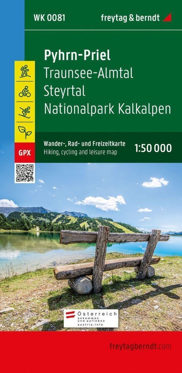
The tourist, cycling, and leisure map of Pyhrn-Priel at a scale of 1:50,000 should always be in your luggage when outings, hiking, and cycling tours are on the agenda in one of the most famous holiday regions of Upper Austria! ***** In particular, the Kalkalpen National Park fascinates visitors with its enclosed forest areas and impressive biodiversity. ***** The tourist map also features the Steyr Valley, which can be comfortably explored along the Steyr Valley cycle path, and the Traunsee-Almtal tourist region further west, which is also known as the eastern 'gateway' to the Salzkammergut. ***** Information on the Pyhrn-Priel tourist map ***** Hiking and long-distance trails, via ferratas, Scale 1:50,000, Waterproof and tear-resistant, Cycle paths and mountain bike trails, Attractive excursion destinations, 70 x 82 cm, double-sided printed, GPX tracks for download, With an information guide ***** Numerous existing regional hiking trails are complemented by several long-distance hiking and pilgrimage routes, including the Northern Alpine Trail, Mariazell Trail, Salzsteig, and Via Alpina. ***** The Almuferweg trail between Almspitz and Almsee is particularly suitable for recreational hikers, while the challenging Salzkammergut BergeSeen route with 20…
Information
Language: German
Publication date: January 1, 2021
Manufacturer: FREYTAG-BERNDT, spol. s r.o.
Genres: Maps and guides, Non-fiction literature, Books, Travel
Type: Maps & atlases
ISBN/EAN: 9783707919387