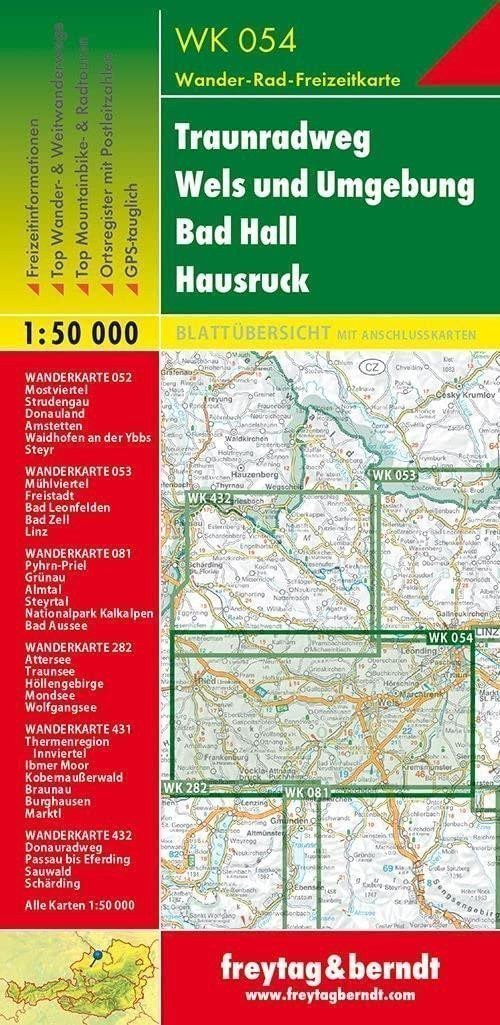

Description
Thanks to detailed digital cartography and precise scales, freytag & berndt tourist maps are ideal companions for hiking, mountaineering, and skiing tours. They are regularly revised and contain updated information about hiking trails, cycling and mountain biking routes, huts, natural monuments, cultural sites, and leisure facilities. The attached information brochure includes a selection of the best hiking trails, bike paths, and mountain biking routes, as well as a brief description of individual municipalities and their leisure activities. (Language: German) Information on leisure, hiking and long-distance trails, mountain biking and cycling routes, postal code location registry, GPS compatible, via ferrata, bridle path, cross-country skiing trail, Nordic walking route, double-sided; Area: Upper Austria Special thematic hiking trails.
Information
Language: German, English, French
Publication date: January 1, 2019
Manufacturer: FREYTAG-BERNDT, spol. s r.o.
Genres: Maps and guides, Books, Travel
Type: Maps & atlases
Pages: 2
ISBN/EAN: 9783707917642