
Description
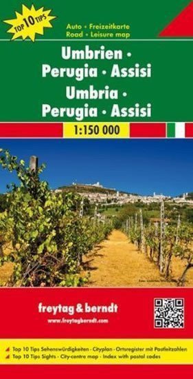
The single-sided road map of the Italian region of Umbria (Umbria/Ombrie) at a scale of 1:150,000 shows the complete network of roads and highways with traffic distances, as well as all settlements and selected thematic content (castles, palaces, monasteries, hotels, campsites, etc.). The map base includes forests and shaded terrain. The index of settlements with postal codes is glued to the cover of the map in a separate booklet, which also contains a double-sided road map of the Italian region of Emilia-Romagna at a scale of 1:150,000, showing the complete network of roads and highways with traffic distances, as well as all settlements and selected thematic content (castles, palaces, monasteries, hotels, campsites, etc.). The map base includes forests and shaded terrain. On the edge of the map, there is a ten-language legend including Czech. The index of settlements with postal codes is glued to the cover of the map in a separate booklet, which also includes a ten-language legend (including Czech), interesting tips for excursions (described in Italian, German, English, and French), and a detailed map of the city center of Perugia (1:13,000). The displayed area: NW - Bibbiena, Sansepolcro, NE - Fano, Jesi, SE - Rieti, SW - Viterbo.
Information
Language: Czech
Manufacturer: FREYTAG-BERNDT, spol. s r.o.
Genres: Non-fiction literature, Maps and guides, Books, Travel
Type: Maps & atlases
Pages: 2
ISBN/EAN: 9783707914887