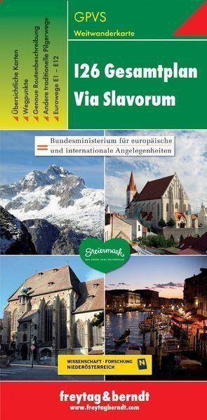

Description
Thanks to detailed digital cartography and precise scales, Freytag & Berndt hiking maps are ideal companions for hiking, mountaineering, and skiing tours. They are regularly revised and contain updated information about hiking routes, cycling and mountain trails, huts, natural monuments, cultural sites, and recreational facilities. The attached information brochure includes precise descriptions of the long-distance hiking trail 'Via Slavorum' (I26) categorized by country. More detailed information is also available about other international long-distance hiking trails in Austria, Eurotrails E1 to E12, and other traditional pilgrimage routes to Rome. (Language: German) Overview map, waypoints, precise route description, other traditional pilgrimage routes, Eurotrails E1 – E12; Area: I26 Via Slavorum, Poland, Czech Republic, Austria, Slovenia, Italy; other long-distance routes: E1 – E12, international long-distance routes through Austria such as I21, I23, and I25, pilgrimage routes to Rome such as Via Romagna, Frankenweg, Via Romea.
Information
Language: Czech, German, English, Italian, Slovenian
Publication date: January 1, 2012
Manufacturer: FREYTAG-BERNDT, spol. s r.o.
Genres: Maps and guides, Tourist maps of the czech republic, Maps of italy, Cities of europe, Maps of the czech republic, Books, Travel, Tourist maps, Underground, By city
Type: Maps & atlases
ISBN/EAN: 9783707914092