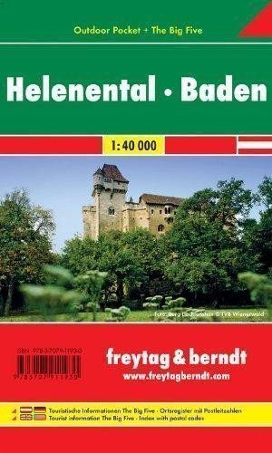

Description
Thanks to detailed digital cartography and precise scales, freytag & berndt tourist maps are ideal companions for hiking, climbing, and skiing tours. They are regularly revised and contain updated information on hiking trails, cycling and mountain routes, huts, natural monuments, cultural sites, and leisure facilities. Titles from the "Outdoor Pocket" series fit into any pocket thanks to their practical format of 9 x 15 cm. They are waterproof, making them suitable for any outdoor adventure! Tourist information "The Big Five": adventure, cuisine, nature, monuments, hiking; Tourist and long-distance hiking trails, mountain and cycling tours, registry of places with postal codes, cross-country skiing trails, ski routes, Nordic walking trails, elevation profiles; Area: Helenental, Baden, Schwechattal, Wienerwald, industrial area, Lower Austria; Special thematic hiking trails: Pilgrim Trail, Via Sacra, Northern Alps Trail, Pre-Alpine Trail / long-distance Wienerwald Trail, Mariazeller Trail, Hoher Lindkogel; Special cycling routes: Alpentour Austria, Helenental route, Triestingtal cycle path, Merkenstein cycle path, Thermenregion cycle path.
Information
Publication date: January 1, 2012
Manufacturer: FREYTAG-BERNDT, spol. s r.o.
Genres: Austrian maps, Maps and guides, Books, Travel, Underground
Type: Maps & atlases
Pages: 2
ISBN/EAN: 9783707911930