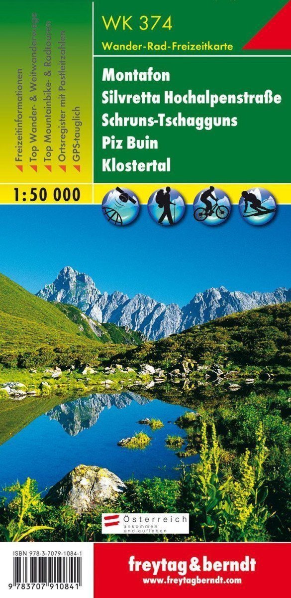

Description
Thanks to detailed digital cartography and precise scales, freytag & berndt hiking maps are ideal companions for hiking, mountaineering, and skiing tours. "WK 374 Montafon - Silvretta High Alpine Road - Schruns-Tschagguns - Piz Buin - Klostertal, hiking map 1:50,000" is regularly revised and contains updated information on hiking trails, cycling paths, and mountain biking routes, huts, natural monuments, cultural sites, and leisure facilities. The accompanying information brochure includes a selection of the best hiking routes, cycling paths, and mountain biking trails, as well as a brief description of individual municipalities and their leisure activities. (Language: German) Leisure information, hiking and long-distance hiking trails, mountain biking and cycling tours, postal code location registration, GPS compatible, via ferrata, ski route, cross-country skiing route, Nordic walking route, double-sided; Region: Montafon, Klostertal, Silvretta Group, Verwall Group, Vorarlberg, Tyrol, Rätikon, Graubünden; Special thematic hiking trails: Northern Alpine Trail, Central Alpine Trail, European Long-Distance Path No. 4, Camino de Santiago, Via Alpina, Eagle Trail, Senda Scuol-Samnaun, Walser...
Information
Language: German, English, French
Publication date: January 1, 2018
Manufacturer: FREYTAG-BERNDT, spol. s r.o.
Genres: Maps and guides, Alps maps, Books, Travel, By region
Type: Maps & atlases
Pages: 2
ISBN/EAN: 9783707910841