
Description
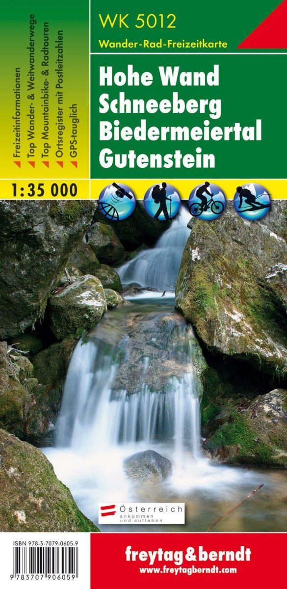
Thanks to detailed digital cartography and precise scales, freytag & berndt tourist maps are ideal companions for hiking, climbing, and skiing tours. "WK 5012 Hohe Wand - Schneeberg - Biedermeiertal - Gutenstein, tourist map 1:35,000" is regularly revised and contains updated information about hiking trails, cycling and mountain routes, mountain huts, and nature. On the back of the tourist map, you will find a selection of the best hiking trails, cycle paths, and mountain biking routes, as well as a brief description of individual municipalities with their leisure activities. (Language: German) Information for leisure, tourist and long-distance hiking trails, mountain biking and cycling, location register with postal codes, GPS compatible, via ferrata, ski route, cross-country skiing route, Nordic walking route; Region: Schneeberg, Hohe Wand, Schneebergland, Biedermeier Valley, Vienna Alpine Arc, Industrial District, Lower Austria; Special thematic hiking trails: Northern Alps Trail, Voralpenweg, Lower Austrian State Circular Trail, Mariazellerweg, Piestingtal Circular Hiking Trail, Waldmarkweg, Via Slavorum, Vienna Alpine Arc, Myra and Kreuthsattel waterfalls, Miethsattel,…
Information
Language: German, English, French
Publication date: January 1, 2018
Manufacturer: FREYTAG-BERNDT, spol. s r.o.
Genres: Maps and guides, Books, Travel
Type: Maps & atlases
Pages: 2
ISBN/EAN: 9783707906059