
Description
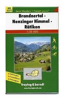
The most detailed map at a scale of 1:35,000 (1 cm = 350 meters) displays, in addition to basic content (all settlements and their parts, railways, roads, main routes, contour lines, elevation points, etc.), a complete network of marked hiking trails and detailed tourist content: castles, chateaus, ruins, lookout towers, cable cars, and much more. In the attached brochure, you will find descriptions of interesting places and suggestions for the most fascinating hikes. The map and brochure are enclosed in a practical plastic case.
Information
Language: Czech
Manufacturer: FREYTAG-BERNDT, spol. s r.o.
Genres: Austrian maps, Books, Travel, Maps and guides, Underground
Type: Maps & atlases
Pages: 2
ISBN/EAN: 9783707904963