
Description
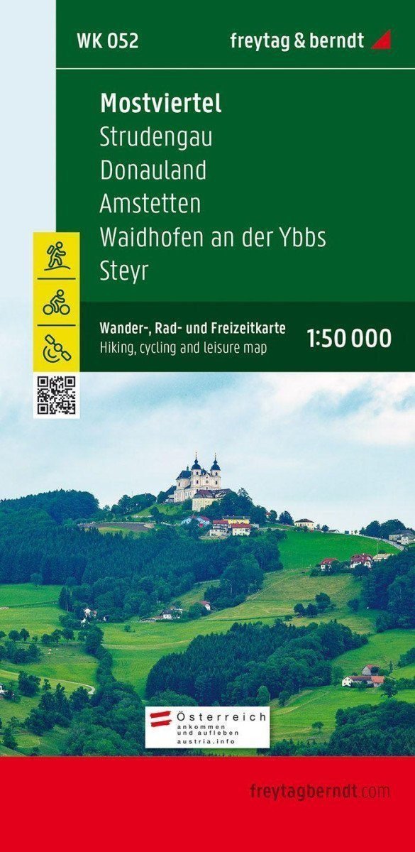
The tourist map WK 052 "Mostviertel - Strudengau - Donauland - Amstetten - Waidhofen an der Ybbs - Steyr" is regularly updated and contains current information about hiking trails, cycling paths, and mountain biking routes, huts, natural monuments, cultural sites, and recreational facilities. The attached information brochure includes a selection of the best hiking routes, cycling paths, and mountain biking trails, as well as a brief description of individual municipalities and their leisure activities. (Language: German) Details: information for leisure, hiking and long-distance hiking trails, mountain biking and cycling tours, registration of places with postal codes, GPS compatible, via ferrata, bridle path, cross-country skiing trail, Nordic walking route, double-sided; Region: Western Mostviertel, Donauland, Lower Austria, Upper Austria; Special thematic hiking trails: Donausteig, E4, Voralpenweg, Mariazellerweg, Eisenwurzenweg, Jakobsweg, Sonntagbergweg, Mostviertler circular hiking trail, Ypser-Weitental circular hiking trail and Lebensweg, castle and palace trail, Lion 01 Amstetten - Sonntagberg - Waidhofen an der Ybbs, Nibelenga, Nibelenga, Nibelenga Austrian state circular hiking trail. Special...
Information
Language: German, English, French
Publication date: January 1, 2021
Manufacturer: FREYTAG-BERNDT, spol. s r.o.
Genres: Maps and guides, Books, Travel
Type: Maps & atlases
Pages: 98
ISBN/EAN: 9783707904918