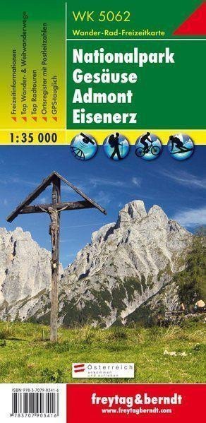

Description
Thanks to detailed digital cartography and precise scales, freytag & berndt tourist maps are ideal companions for hiking, climbing, and skiing tours. WK 5062 "National Park Gesäuse - Admont - Eisenerz 1:35 000" is regularly updated and contains current information about hiking trails, cycling routes, mountain biking paths, huts, natural monuments, cultural sites, and recreational facilities. The included information brochure features a selection of the best hiking trails, bike paths, and mountain biking routes, as well as a brief description of the regions and municipalities with their leisure activities. (Language: German) Information for leisure, tourist and long-distance hiking trails, mountain biking and cycling routes, postal code location registration, GPS compatible, via ferrata, ski trail, cross-country skiing trail, double-sided; Area: Gesäuse, Eisenerz Alps, Eastern Styria, Upper Styria, Styria; Special thematic hiking trails: Northern Alpine Trail, North-South Trail, Eisenwurzen Trail, Styrian State Circular Trail, Via Alpina, Benedict Trail, From Glacier to Wine, Natural Forest Trail, Waterfall Trail and Planspitze, Natterriegel and Bärenkarmauer, to Heroes' Crossing;…
Information
Language: German, English, French
Publication date: January 1, 2018
Manufacturer: FREYTAG-BERNDT, spol. s r.o.
Genres: Maps and guides, Books, Travel
Type: Maps & atlases
Pages: 2
ISBN/EAN: 9783707903416