

Description
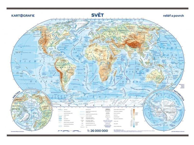
The wall map in Robinson's projection illustrates and describes the most important geographical shapes of the continents and oceans of the world. The main map is supplemented with cutouts of the northern and southern polar regions. New edition in a revised design. With each wall map, we provide 20 copies of pocket maps for students to use at their desks for free. The separate sheet features a reduced physical map of the world at a scale of 1:85,000,000 on the front, and an outline (blank) map of the world on the back. The world at a scale of 1:26,000,000 in a physical-geographical design. Shaded terrain. Cutouts of polar regions. Laminated map with wooden strips at the top and bottom. 20 pocket maps for school desks with an outline map on the back. An index for both the wall and pocket maps available for download at: www.skolnimapy.cz.
Information
Language: Czech
Publication date: October 1, 2023
Manufacturer: KARTOGRAFIE Praha, a. s.
Genres: School atlases and maps, Books, Textbooks and languages
Type: Map / atlas
ISBN/EAN: 8594033222581