

Description
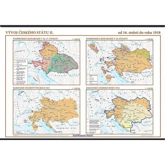
School wall map measuring 136 x 96 cm, tracing the development of the Czech state from the sixteenth century to 1918. Czech labelling throughout, published by Kartografie Praha for classroom use.
Product details
Type Map / atlas
Publisher / Manufacturer KARTOGRAFIE Praha, a. s.
Released 2006
Language Czech
Category School atlases and maps, Books, Textbooks and languages
EAN 8594033221003
Weight 1176 g
Shipped worldwide from the Czech Republic by czechmovie.
Information
Language: Czech
Publication date: January 1, 2006
Manufacturer: KARTOGRAFIE Praha, a. s.
Genres: School atlases and maps, Books, Textbooks and languages
Type: Map / atlas
ISBN/EAN: 8594033221003