
Description
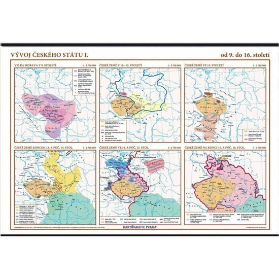
The wall map with six thematic maps illustrates the development of the Czech state from the 9th to the 16th century. The maps clearly display the territorial extents of the then state entities and their centers, the territorial gains of individual rulers, and the preserved monuments from that time. Contents: Great Moravia in the 9th century Czech lands in the 10th-12th centuries Czech lands in the 13th century Czech lands at the end of the 13th and beginning of the 14th century Czech lands in the 14th and early 15th centuries Czech lands at the end of the 15th and beginning of the 16th centuries
Information
Language: Czech
Publication date: January 1, 2006
Manufacturer: KARTOGRAFIE Praha, a. s.
Genres: School atlases and maps, Books, Textbooks and languages
Type: Other goods
ISBN/EAN: 8594033220990