

Description
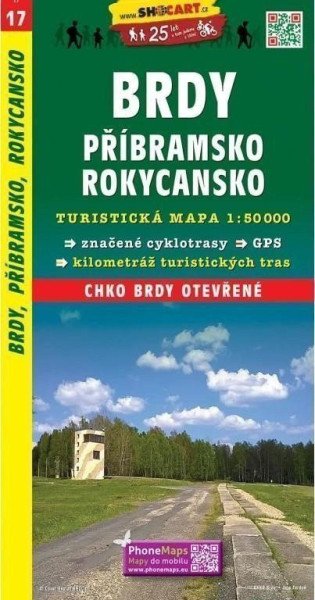
Une carte régionale couvrant Brdy, Příbramsko et Rokycansko à l’échelle 1:50 000. La carte est en tchèque.
Détails du produit
Type Cartes et atlas
Éditeur / Fabricant SHOCart, spol. s r.o.
Langue Tchèque
Catégorie Voyages, cartes et guides
Dimensions du paquet 23.9 × 13.6 × 0.6 cm
ISBN 978-80-7224-204-7
Poids 156 g
Informations
Fabricant: SHOCart, spol. s r.o.
Genres: Livres, Voyage, Cartes et guides
Type: Cartes et atlas
ISBN/EAN: 9788072242047